Google Public Alerts
Some comments about the recently announced Google Public Alerts system.

Some comments about the recently announced Google Public Alerts system.
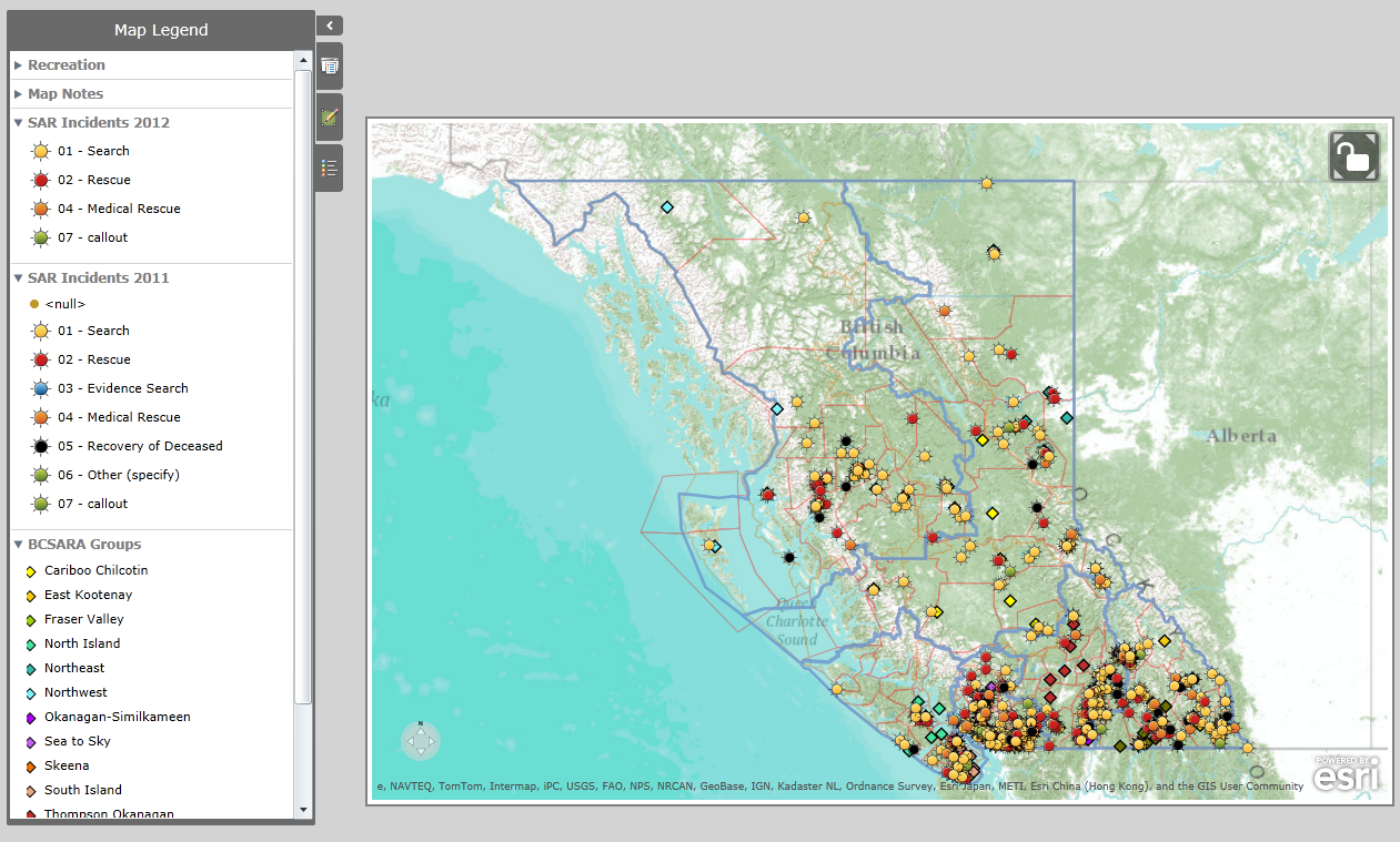
A map plotting the location of all of the SAR incidents in BC for 2011 and 2012, including the location of each team in BC.
It seems that people are still confused about the difference between an emergency locator *beacon* and an avalanche *transceiver*
The S.T.O.P. tool designed to encourage sledders to develop situational awareness and be safer in avalanche terrain
Some musings on the CAA’s Avalanche Search and Rescue seminar for SAR teams considering sending people.
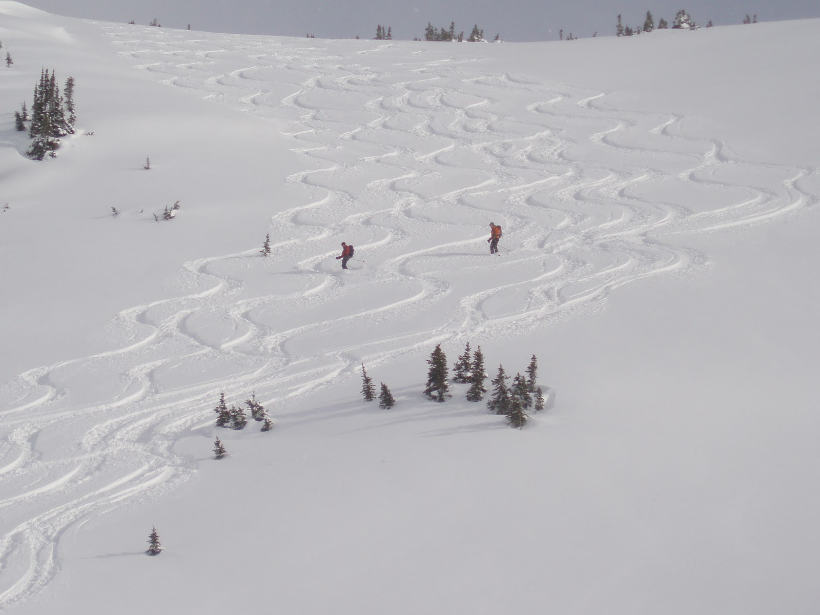
In my last post on this subject I wrote about how skiers have an advantage over sledders in that they have more opportunity to observe conditions as they travel through terrain. Today, some observations on the flip side of the …
We came across this map of Pitt Lake in the SAR Archives the other day. Interesting for the place names that aren’t on more modern maps. Funny how the mountains look like cones.
A review of a 3 day search on Vancouver island with significant logistical issues that were overcome by use of amateur radio.
Tomorrow I’ll have a guest writer posting to the blog.