A response to North Shore Rescue
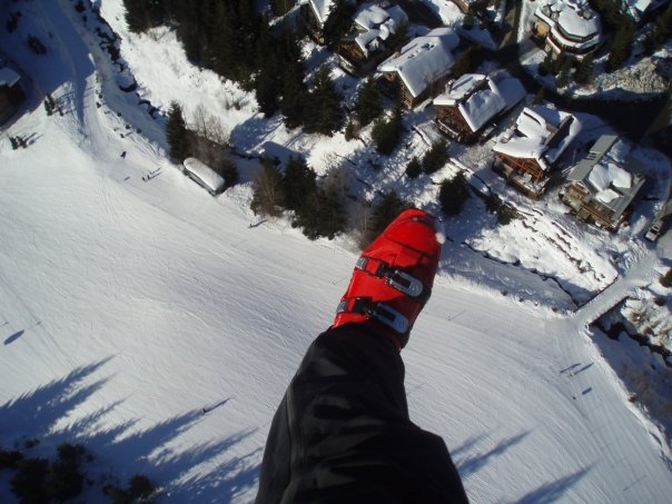
Flying over Whistler Village in 2008
Adding to the discussion about the BC Search and Rescue system, I propose some solutions to the problems pointed out by Tim Jones of North Shore Rescue.

A veteran SAR volunteer's experiences in British Columbia
Adding to the discussion about the BC Search and Rescue system, I propose some solutions to the problems pointed out by Tim Jones of North Shore Rescue.
Some information and clarification on the “grounding” of long line operations in BC and Canada
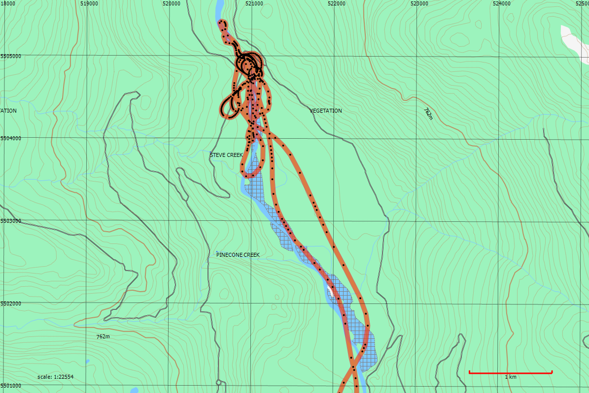
Some notes from a recent search near Pitt Lake and musings on using a GPS track as a logbook.
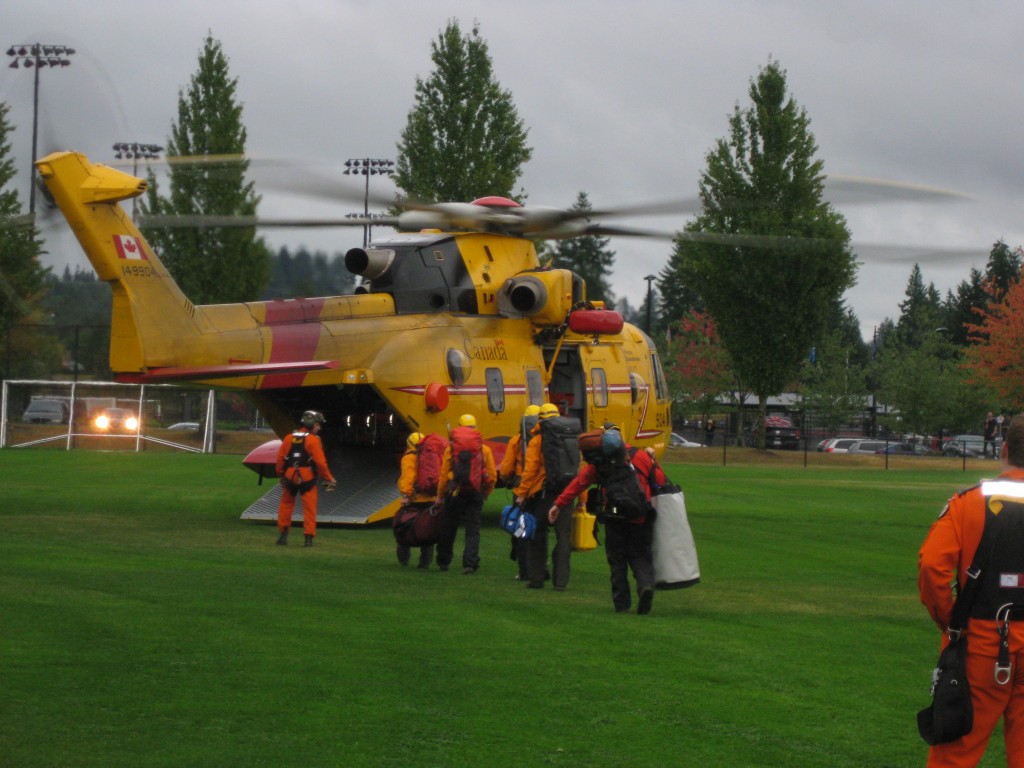
A case study of a rescue with a Personal Locator Beacon in SouthWestern BC detailing rescuer’s difficulties accessing the location.
News tonight of a rescue in Yoho National Park. Parks Canada pioneered the rescue technique SAR people in BC know variously as HETS (Human External Transport System), or “Class ‘D’” operations (referring to the Aviation regulations that govern people being …
Helping pets is a part of the rescue tradition, as we all know from the story of the firefighters climbing a tree to retrieve a cat. Although this image is a bit of a joke, it illustrates two things: the …