↓ Skip to Main Content
Oplopanax Horridus

Oplopanax Horridus

A veteran SAR volunteer's experiences in British Columbia

Main Navigation

  • About
    • About Me
    • Copyright
    • Privacy Policy
    • Commenting policy
    • Disclaimer
    • Why Oplopanax
  • Popular
    • On Blaming the Victim
    • How to Kill Yourself Snowshoeing
    • Smart Phones and Battery Life
    • Don’t use Smart Phones for Backcountry Navigation
    • PLBs from the Rescuer’s Perspective
    • Finding Someone from a Helicopter
    • On Coordinates
    • A Social Media Storm
  • Projects
    • TrueNorth Geospatial
    • Missing Poster Generator
    • YourLo.ca/tion
    • SAR Teams Map
    • Range Rings
  • SAR Links
    • BC SAR Teams
    • SAR Agencies
  • Media
  • Contact

Tag: urban interface

SAR and Crowdsourced Maps

By Michael Coyle Posted on 24/10/2011 Posted in Blog Entry Tagged with management, map, mapping, OpenStreetMap, OSM, rescue, SAR, tech, urban, urban interface
SAR and Crowdsourced Maps

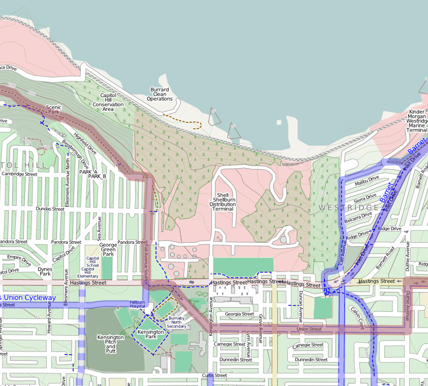
When you’e using OpenStreetMap, you’re using Crowdsourced data; in my experience, very accurate for urban searches.

Footer Menu

  • Copyright
  • Disclaimer
  • Privacy Policy
  • Why Oplopanax
Creative Commons Licence
Oplopanax Horridus Copyright © 2025 by Michael Coyle
All content, except where otherwise noted, is licensed under a Creative Commons Attribution-NonCommercial-ShareAlike 2.5 Canada License