TrueNorth public beta
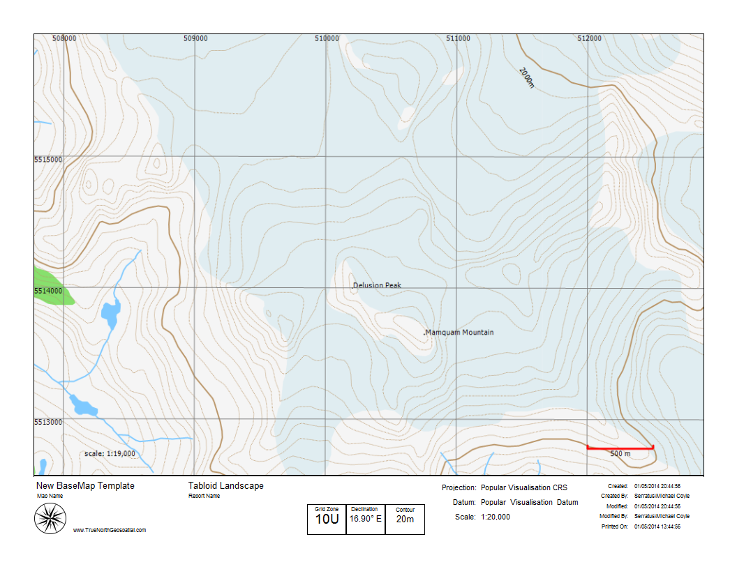
Mount Mamquam area
TrueNorth is in public beta – using a GIS is like writing a resume with Photoshop, come get your mapping word processor.

TrueNorth is in public beta – using a GIS is like writing a resume with Photoshop, come get your mapping word processor.
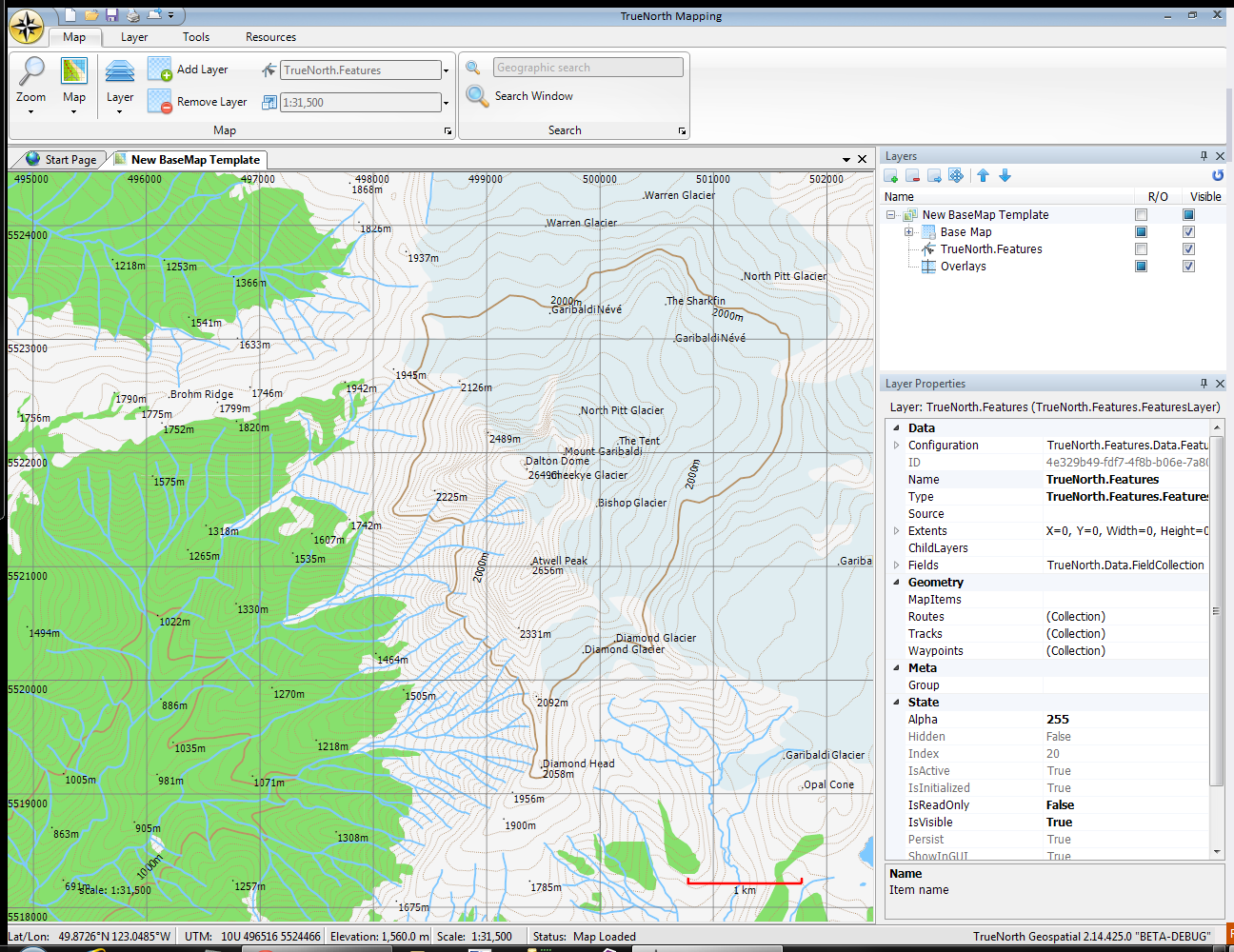
I’d like to formally announce my new venture: mapping software for backcountry enthusiasts and professionals: TrueNorth Geospatial
Google Map Maker is opened to Canada, and Google becomes a crowdsourced map.