
Uses for UAVs in SAR
I realized that despite thinking a lot, and taking to a lot of people about the various uses for UAVs in Search and Rescue, I have not actually posted some of those ideas to the blog. Allow me to correct that.
First, I’d like to say thank you to the very many experts in the field I have contacted, or been contacted by in the past six months. I’ve connected with people across Canada and the US, talked for more than an hour at a time to people at Transport Canada, taken many hours of time from people who do this for a living, and of course bent the ears of many of the people at the BC Search and Rescue Association, and Emergency Management BC. To all of you I apologize for the time you will never get back.
However, I believe this technology has some good applications, and has a real chance of saving lives, or at the very least making search and rescue safer or more efficient.
Search Applications
Primary Search
The first application of UAVs that everyone thinks of, and the one I’ve never been convinced of, is searching for a missing person. I call this “primary search” because it’s the basic task of searching. I’ll get to other kinds of searching later.
The main reason I have some trouble with this is based partly on science, and partly on experience.
In my experience, it can be very difficult to find someone from a helicopter. The vegetation in most of BC just does not allow it. Sure it happens, but you can fly over someone for hours before you see them.
The scientific reason comes down to resolution. By one estimation, the human eye is equivalent to 576 megapixels. The cameras on a UAV come to a tiny percentage of this – even a GoPro Hero 3, if we could transmit that video wirelessly, is ony 12 megapixels, or 2% of the human eye’s potential.
In the words of my friend who flies for the Canadian Air Search and Rescue Association (CASARA), and who trains people to spot things from the air, this is like “searching through a straw”.
In this application, while a UAV can perform primary search, I believe that four pairs of eyes in a rotary wing helicopter is probably a more efficient use of resources in most cases.

Targeted Search
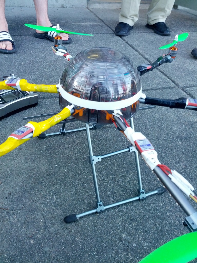
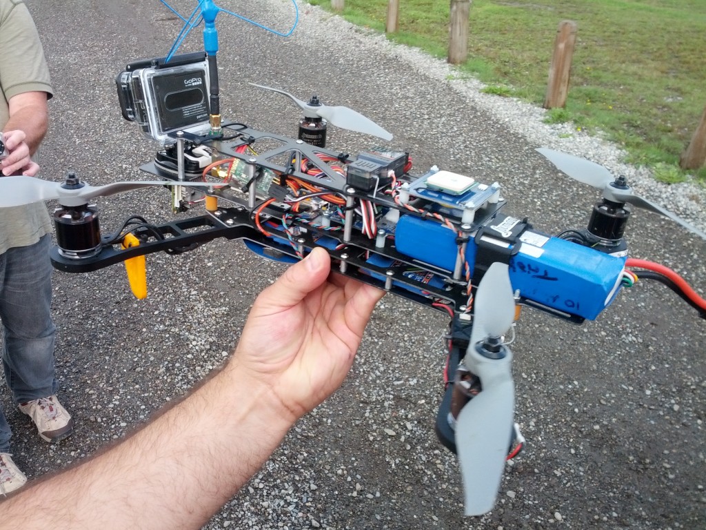
It’s not all bad news, however! One thing a UAV can do, that most normal aircraft can’t, is fly very low, and in very cramped areas. Some of the UAVs we are talking about are about 60-80cm across.
Based just on searches I have personally assisted on, a UAV could be used to search for someone who has fallen into a river, look into deep gorges, search glaciated regions, fly into crevasses, search large cliff faces, or very close to waterfalls.
A UAV is not just useful in these cases for ease of access, if the device can rule out a certain area, it can result in less exposure of SAR members to hazardous conditions, and a reallocation of resources to areas of higher probability.
Specialized Sensors
Another area where a UAV can do something that is either not possible or unlikely to regular aircraft, is flying at night. Helicopters and fixed wing aircraft can fly at night, but it requires training and equipment, and maintenance of skills that most providers (at least the ones we have access to on a regular basis) don’t have. However, a UAV with night vision could fly in certain situations.
In several situations I’ve been involved with, a subject was lost at night. We had a definite high probability area, and it was possible that they would be more visible with infra red (FLIR) than visible light. A FLIR equipped UAV would have been an excellent resource to use in this situation.
Hyperspectral imaging can be used to see through clouds, smoke, and even certain types of vegetation. These are not cheap options of course, but are very complimentary technologies.
SAR Support
Communications
Under SAR support, the main idea we have for the use of a UAV is as a communications platform.
A fixed wing UAV could be equipped with a cross band VHF/UHF repeater. It could fly to a certain elevation, and be put into a parking orbit, providing reliable communications for an hour or so with commonly available equipment. With improvements in equipment, the UAV could fly for longer periods, and carry different types of communications equipment. This type of support improves safety for SAR members in the field. Communications issues are always an problem for Search and Rescue.
While fixed and rotary wing aircraft can do the same thing, they are expensive, and most can’t fly at night. Standard SAR operations in my area either mount permanent repeater stations, or fly temporary repeaters for SAR tasks. A flying repeater could be put in place at night.
Mapping
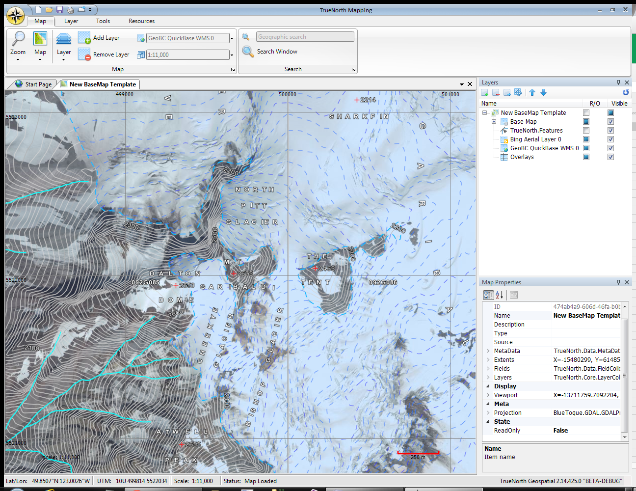
We’ve seen examples of the mapping capabilities of UAVs. In fact, one of the most common business models is to purchase an off the shelf UAV mapping system to add to an already existing geomatics company to expand their capabilities. While this equipment is expensive, specialized, and can take time and software to consume properly, it can be an invaluable resource for the SAR management
The maps generated are usually air photos and can give SAR management and field members an up to day picture of vegetation cover.
Situational Awareness
SAR members receive training that stresses situational awareness – understanding the situation, how conditions change with location and over time, and reassessing risk and exposure appropriately.
For SAR Management, situational awareness is something that is always lacking, as the management team is often in the command area and only has access to maps and reports from the field. UAVs improve situational awareness by adding the above mentioned mapping capabilities, video and still photography. These give SAR management access to better information to plan the search operations.
Transportation
This is a little “out there” on the list of capabilities, but a UAV can carry a small load. I think it’s one of the least useful abilities of the UAV, but oddly it’s the one that large corporations like Amazon and even smaller companies have gone to.
However, a UAV could carry a small load containing a radio, first aid supplies or water to a subject in an inaccessible place. This would allow the subject to communicate their condition, and let them know that help is coming, especially if it might take a while to mount the rescue.
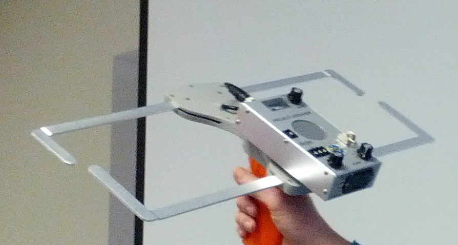
Avalanche Rescue
Several devices have been built that are essentially flying avalanche beacons. The UAV is programmed with an algorithm that lets it track an avalanche beacon. The UAV can home in on the beacon;s location very quickly, and “paint” the area with a marker. This speeds up rescue and can reduce the time the rescuers are exposed to hazard.
While not a primary Search and Rescue tool, this would be useful in a ski area where the patrollers could carry the device in their pack.
Dementia
There are several systems that can be used to track people with dementia when they wander. All of them use some sort of tracker. A UAV equipped with a tracking system could be programmed using a similar algorithm to the above mentioned avalanche rescue device, and would make finding the subject very simple.
Conclusion
These are the broad categories for UAV use in SAR. While I am not necessarily impressed by the ability of a UAV to assist with primary search, I believe that UAVs have a lot of other applications. There are significant barriers to adoption of UAVs, which I will write about in another article, but I think they can be overcome, and make Search and Rescue safer for both rescuers and subjects.
As always, I welcome input from readers. How do you think you would use a UAV for SAR?
Good article.
Thanks for the article Michael! I see a most-useful senario with a UAV using a FLIR (Tau or Quark module) that could lift off in low-light (or night) condititions fly a pre-planned area and return to landing zone, utilizing live video (and telemetry)as well as stored onboard. This would reduce safety (aircraft or personel) conflicts and get potential information back to base such as wildlife conflicts back to base in the early stages. I like the idea of being able to drop a small load (radio, beacon) or even being able to transmit voice-instructions through a radio-speaker.
Steve, the problem with that is that Transport Canada states that UAVs cannot be flown beyond line of sight.
Amateur operators make incredible claims about the ability and reliability of the software, yet are entirely uninformed about the regulations. The UAVs are capable of flying pre-programmed flight paths, but must be under human control, and within line of sight.
On the plus side, a SAR person can be considered to be a spotter for the purposes of being within line of sight — the operator of the UAV can pilot it from one location, and as long as a trained spotter has eyes on the device, and communications with the operator, you are good to go.
This is why we require an SOG before moving forward with operations so all the SAR groups are clear on what is allowed under the regulations. The last thing we want is Transport Canada shutting the entire program down, and hitting people with fines.