↓ Skip to Main Content
Oplopanax Horridus

Oplopanax Horridus

A veteran SAR volunteer's experiences in British Columbia

Main Navigation

  • About
    • About Me
    • Copyright
    • Privacy Policy
    • Commenting policy
    • Disclaimer
    • Why Oplopanax
  • Popular
    • On Blaming the Victim
    • How to Kill Yourself Snowshoeing
    • Smart Phones and Battery Life
    • Don’t use Smart Phones for Backcountry Navigation
    • PLBs from the Rescuer’s Perspective
    • Finding Someone from a Helicopter
    • On Coordinates
    • A Social Media Storm
  • Projects
    • TrueNorth Geospatial
    • Missing Poster Generator
    • YourLo.ca/tion
    • SAR Teams Map
    • Range Rings
  • SAR Links
    • BC SAR Teams
    • SAR Agencies
  • Media
  • Contact

Tag: mapping

SARScene 2013

By Michael Coyle Posted on 16/10/2013 Posted in Blog Entry Tagged with mapping, SARScene, SMEM, technology, TrueNorth
SARScene 2013

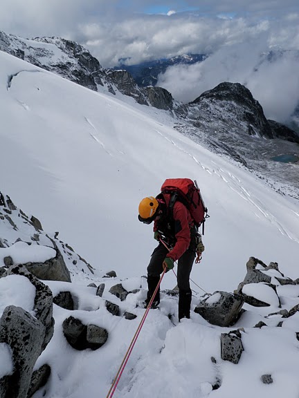
This year I’m attending the conference, presenting, and facilitating at two sessions, exhibiting at the trade show and cheering on the SAR Games.

TrueNorth is in beta testing

By Michael Coyle Posted on 30/01/2013 Posted in Blog Entry, Short Posts Tagged with GPS, mapping, technology, TrueNorth
TrueNorth is in beta testing

After many years of development, my mapping project TrueNorth is in beta testing.

SARScene 2012 Presentation

By Michael Coyle Posted on 22/11/2012 Posted in Blog Entry Tagged with communications, GPS, how-to, mapping, OpenStreetMap, SAR, smart phone, technology

This year I gave a presentation titled “Best Practices in Managing Geospatial Data for SAR Teams”

A New Venture

By Michael Coyle Posted on 04/03/2012 Posted in Blog Entry Tagged with GIS, mapping, maps, TrueNorth
A New Venture
Screenshot of TrueNorth showing offline vector data

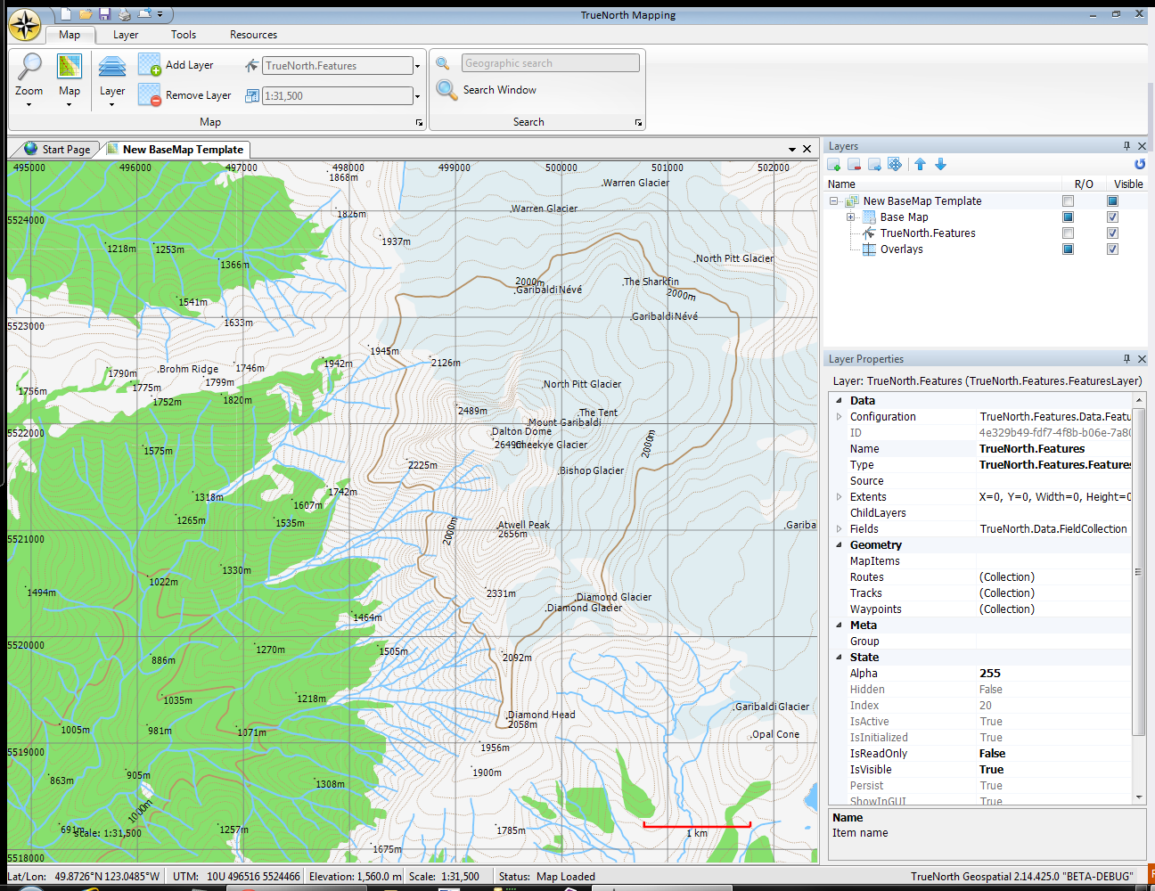
I’d like to formally announce my new venture: mapping software for backcountry enthusiasts and professionals: TrueNorth Geospatial

SAR and Crowdsourced Maps

By Michael Coyle Posted on 24/10/2011 Posted in Blog Entry Tagged with management, map, mapping, OpenStreetMap, OSM, rescue, SAR, tech, urban, urban interface
SAR and Crowdsourced Maps

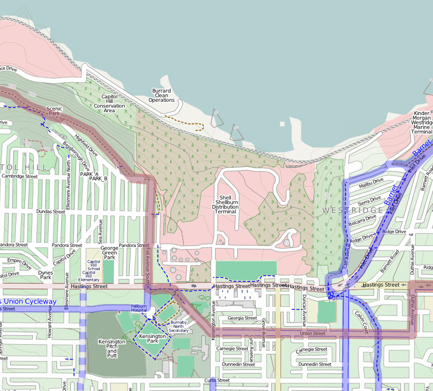
When you’e using OpenStreetMap, you’re using Crowdsourced data; in my experience, very accurate for urban searches.

Footer Menu

  • Copyright
  • Disclaimer
  • Privacy Policy
  • Why Oplopanax
Creative Commons Licence
Oplopanax Horridus Copyright © 2025 by Michael Coyle
All content, except where otherwise noted, is licensed under a Creative Commons Attribution-NonCommercial-ShareAlike 2.5 Canada License