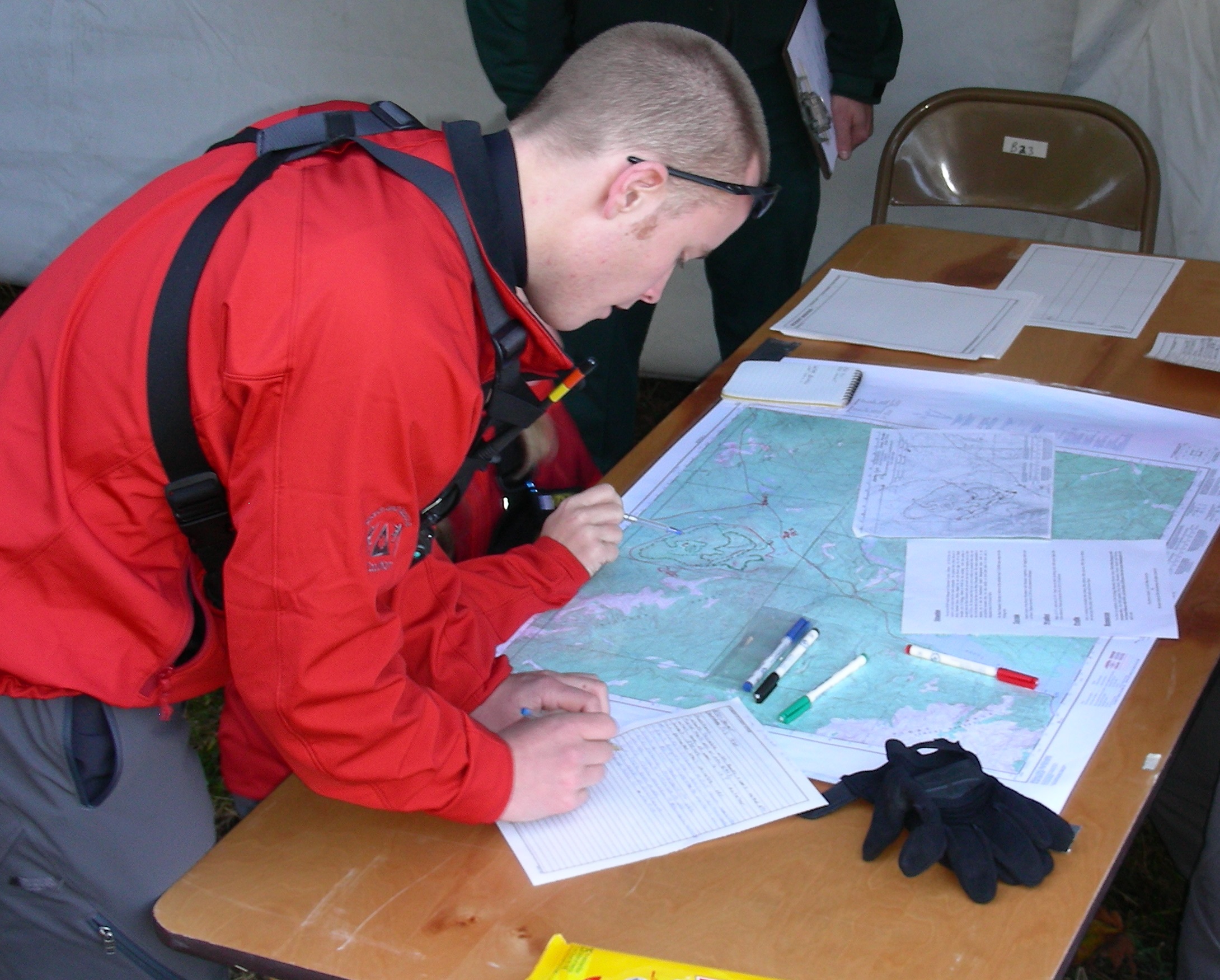
On Coordinates; part 2
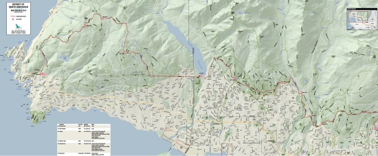
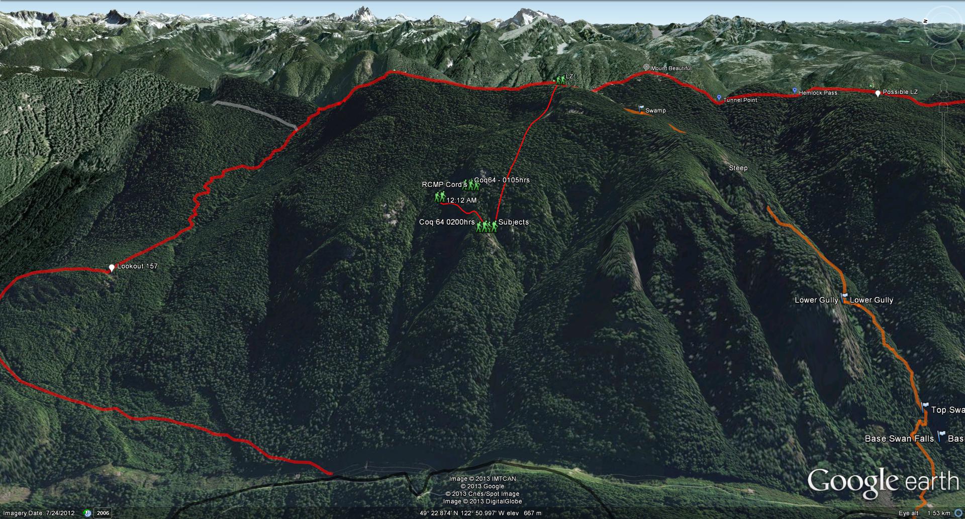
GPS Track of helicopter flight into the Pitt River area.
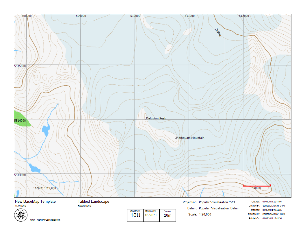
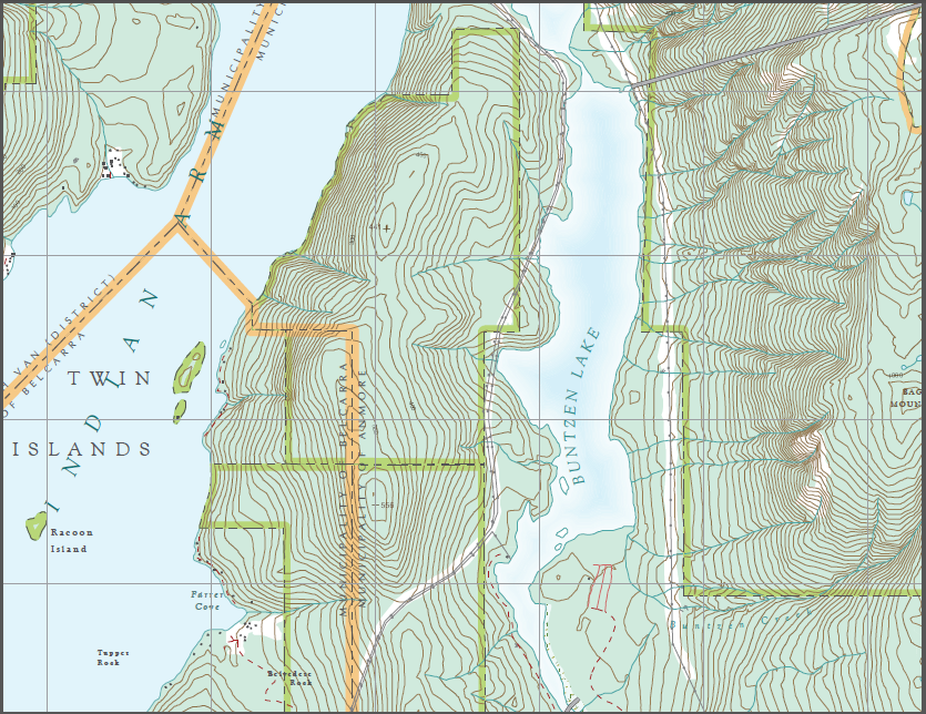
In my previous post on coordinates, I stated that the best coordinate representation to use if you need to use geographic coordinates (latitude and longitude) was decimal degrees (or DD). It’s preferable to use UTM, which is pretty much a …