↓ Skip to Main Content
Oplopanax Horridus

Oplopanax Horridus

A veteran SAR volunteer's experiences in British Columbia

Main Navigation

  • About
    • About Me
    • Copyright
    • Privacy Policy
    • Commenting policy
    • Disclaimer
    • Why Oplopanax
  • Popular
    • On Blaming the Victim
    • How to Kill Yourself Snowshoeing
    • Smart Phones and Battery Life
    • Don’t use Smart Phones for Backcountry Navigation
    • PLBs from the Rescuer’s Perspective
    • Finding Someone from a Helicopter
    • On Coordinates
    • A Social Media Storm
  • Projects
    • TrueNorth Geospatial
    • Missing Poster Generator
    • YourLo.ca/tion
    • SAR Teams Map
    • Range Rings
  • SAR Links
    • BC SAR Teams
    • SAR Agencies
  • Media
  • Contact
Home › Posts tagged communications › Page 2

Tag: communications

SARScene 2012 Presentation

By Michael Coyle Posted on 22/11/2012 Posted in Blog Entry 1 Comment Tagged with communications, GPS, how-to, mapping, OpenStreetMap, SAR, smart phone, technology

This year I gave a presentation titled “Best Practices in Managing Geospatial Data for SAR Teams”

A forum experiment

By Michael Coyle Posted on 05/11/2012 Posted in Blog Entry No Comments Tagged with communications, meta
A forum experiment

I installed a forum on the blog as an experiment in allowing readers to create their own topics for discussion.

A Social Media Storm

By Michael Coyle Posted on 24/10/2012 Posted in Blog Entry 1 Comment Tagged with communications, rescue, social media, technology
A Social Media Storm

A cautionary tale of adverse effects of Social Media during a SAR operation

The idiocy of using social media to call for help

By Michael Coyle Posted on 11/10/2012 Posted in Blog Entry No Comments Tagged with backcountry, communications, GPS, rant, smart phone, smartphone, social media, technology
The idiocy of using social media to call for help
Share designed by <a href="http://www.thenounproject.com/Mikhail1986">Michael Rowe</a> from the <a href="http://www.thenounproject.com">Noun Project</a>

Why posting to Social Media when you are lost is a very very stupid thing to do

Cell phones and GPS

By Michael Coyle Posted on 26/03/2012 Posted in Blog Entry 2 Comments Tagged with backcountry, cell phone, communications, GPS, PLB, smart phone, technology
Cell phones and GPS

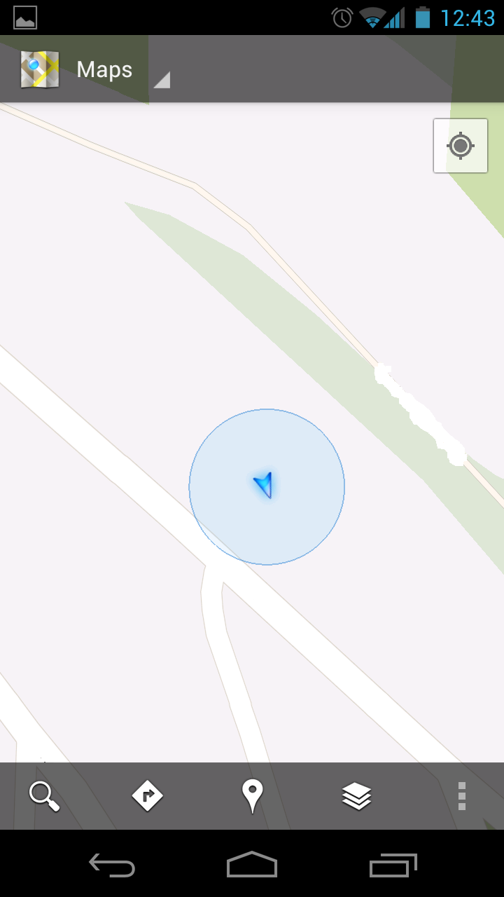
Some recent news reports contain conflicting information on Cell phones and GPS reliability for SAR use, I attempt to clarify

Satellite Phones and 911

By Michael Coyle Posted on 19/03/2012 Posted in Blog Entry 1 Comment Tagged with communications, emergency, rescue, satellite, tech, technology

Satellite Phones may not have 911 capability; users should know what number to call for rescue

William Fisher Search Review

By Merrick Grieder Posted on 04/01/2012 Posted in Blog Entry, Guest Post No Comments Tagged with amateur radio, communications, logistics, management, radio, search, search review, technology

A review of a 3 day search on Vancouver island with significant logistical issues that were overcome by use of amateur radio.

The use of Smartphones in SAR

By Michael Coyle Posted on 20/12/2011 Posted in Blog Entry 4 Comments Tagged with communications, gear, GPS, SAR, smart phone, technology

A discussion of various ways SAR members can use smartphones

Smart Phones and Battery Life

By Michael Coyle Posted on 15/09/2011 Posted in Blog Entry, Essay No Comments Tagged with communications, GPS, mobile phone, safety, smart phone, SMS, technology
Smart Phones and Battery Life

The biggest energy drain in a smart phone other than the cellular radio is the screen. Advice on how to best use this information, and preserve battery life

SPOT Connect and Smart Phones

By Michael Coyle Posted on 06/09/2011 Posted in Blog Entry 2 Comments Tagged with communications, mobile phone, rant, review, safety, SAR, smart phone, technology

I’d like to direct people to Will Gadd’s article on the SPOT Connect. I’ve previously written how smartphones should not be used as a primary navigation device for backcountry travelers. Will points out that the SPOT connect, when paired with …

SPOT Connect and Smart Phones Read more »

Posts navigation

Previous 1 2 3 Next
BlueToque Software
BlueToque Software
My software company
Software Design, Architecture and Consulting

TrueNorth Geospatial
The mapping software I designed for SAR
Mapping Software for Backcountry Professionals

YourLo.ca/tion
YourLo.ca/tion
Locate people using their SmartPhones

Buy a T-Shirt

Recent

  • Backcountry Safety is a Shared Responsibility
  • Are “selfies” hazardous?
  • “Dog Walker” Behaviour Profile
  • Reflections on 2017
  • Accidental Triggering of SPOT device

Tags

accident avalanche backcountry climbing communications death dementia emergency funding gear GPS grim helicopter HETS how-to InfoSAR Logan 2011 management map meta news numbers olympics opinion rant rescue review risk safety SAR SARDay search ski smart phone SMS snow snowshoe social media tech technology training Tyler Wright UAV video weather

Blogroll

  • AdventureSmart
  • Coquitlam SAR
  • North Shore Hikers
  • North Shore Outdoor
  • Outdoor Vancouver
  • Roland Web Memorial
  • SARBayes
  • TrueNorth Geospatial
  • Wayne Flann's Avalanche Blog

Older stuff

Recent

  • Backcountry Safety is a Shared Responsibility
  • Are “selfies” hazardous?
  • “Dog Walker” Behaviour Profile
  • Reflections on 2017
  • Accidental Triggering of SPOT device

Blogroll

  • AdventureSmart
  • Coquitlam SAR
  • North Shore Hikers
  • North Shore Outdoor
  • Outdoor Vancouver
  • Roland Web Memorial
  • SARBayes
  • TrueNorth Geospatial
  • Wayne Flann's Avalanche Blog

Projects

  • BlueToque Software
  • Missing Poster Generator
  • TrueNorth Geospatial
  • YourLo.ca/tion

Resource

  • AdventureSmart
  • Canadian Avalanche Association
  • Canadian Avalanche Centre
  • TrueNorth Geospatial

Projects

  • BlueToque Software Software architecture, design and build BlueToque Software Software architecture, design and build
  • Missing Poster Generator Easy generation, printing and sharing of missing posters Missing Poster Generator Easy generation, printing and sharing of missing posters
  • TrueNorth Geospatial Mapping software for backcountry professionals TrueNorth Geospatial Mapping software for backcountry professionals
  • YourLo.ca/tion A simple location finding, sharing and tracking service for SAR teams YourLo.ca/tion A simple location finding, sharing and tracking service for SAR teams
Creative Commons Licence
Oplopanax Horridus Copyright © 2013 by Michael Coyle
All content, except where otherwise noted, is licensed under a Creative Commons Attribution-NonCommercial-ShareAlike 2.5 Canada License.
Read about what that means, and contact the author for commercial licenses if necessary.

Footer Menu

  • Copyright
  • Disclaimer
  • Privacy Policy
  • Why Oplopanax
© 2022 Oplopanax Horridus | Powered by Responsive Theme