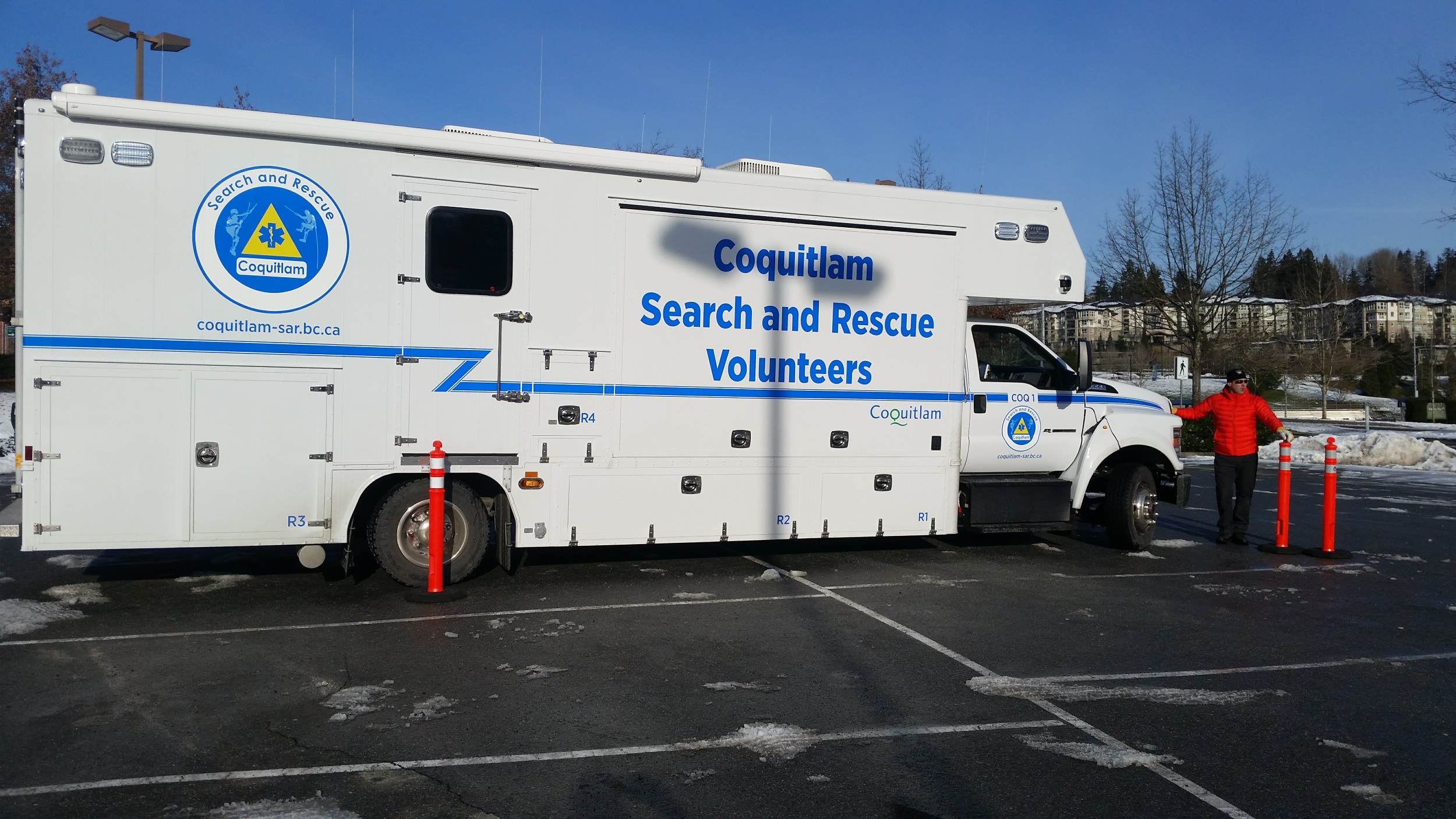
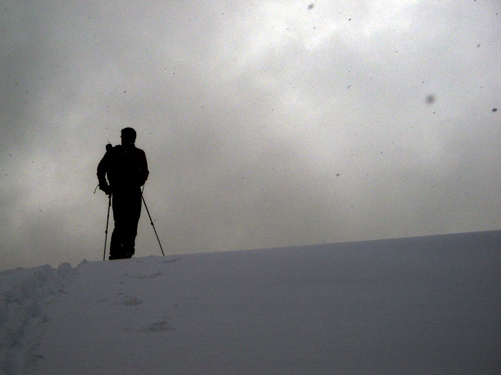
Backcountry Safety is a Shared Responsibility
The only constant in life is human fallability, so when we’re away from the social safety net, we need to know we can rely on each other.

The only constant in life is human fallability, so when we’re away from the social safety net, we need to know we can rely on each other.
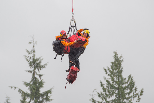
From a Search and Rescue perspective none of the reasons for climbing a mountain makes a damn bit of difference when you’re rolling someone into a body bag and flying them off a mountain in a cargo net
Musing on managing a recent multi day search for a missing dog walker, and a lost person behaviour profile for Dog Walkers
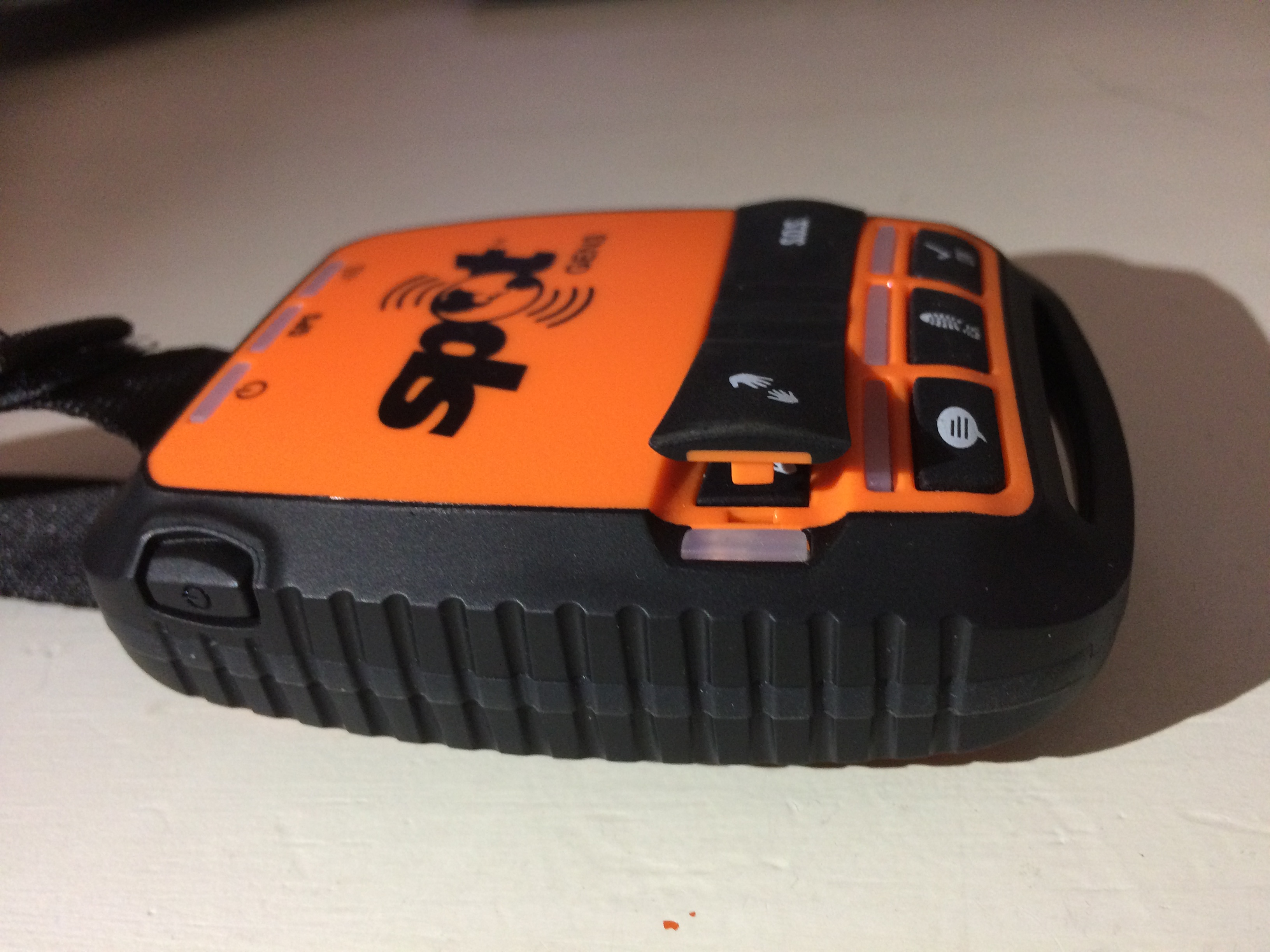
Accidental trigger of a SPOT device, general discussion of devices limitations, and how to avoid them.
The #Snapchat search – a recent application of Social Media to #SAR
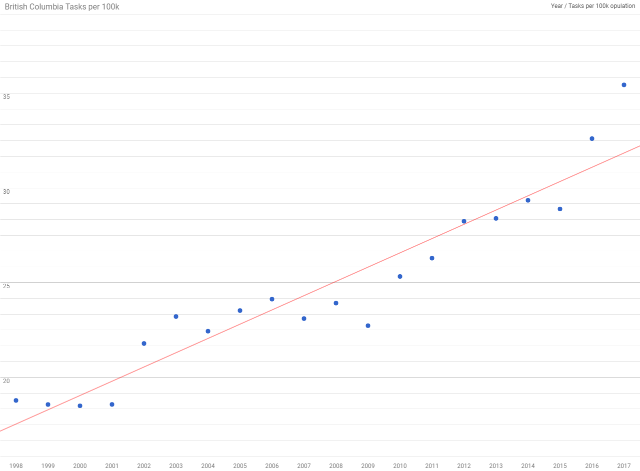
Emergency Management BC published the yearly summary statistics for emergency response in BC and like last year I did some analysis. We now have 20 years of statistics on SAR in BC! You may recall that last year there seemed …
A trope is a kind of conceptual shorthand often used in storytelling – but the harm the larger issue of backcountry safety.
There’s no central list of missing persons SAR groups in BC have been unable to find. I’d like to create one.
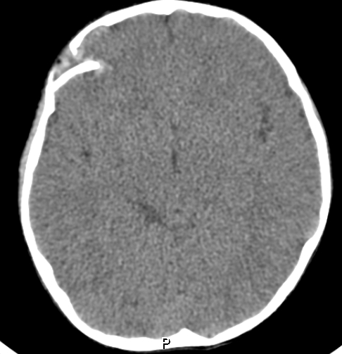
First responders may not be able to diagnose a skull fracture in the field.