↓ Skip to Main Content
Oplopanax Horridus

Oplopanax Horridus

A veteran SAR volunteer's experiences in British Columbia

Main Navigation

  • About
    • About Me
    • Copyright
    • Privacy Policy
    • Commenting policy
    • Disclaimer
    • Why Oplopanax
  • Popular
    • On Blaming the Victim
    • How to Kill Yourself Snowshoeing
    • Smart Phones and Battery Life
    • Don’t use Smart Phones for Backcountry Navigation
    • PLBs from the Rescuer’s Perspective
    • Finding Someone from a Helicopter
    • On Coordinates
    • A Social Media Storm
  • Projects
    • TrueNorth Geospatial
    • Missing Poster Generator
    • YourLo.ca/tion
    • SAR Teams Map
    • Range Rings
  • SAR Links
    • BC SAR Teams
    • SAR Agencies
  • Media
  • Contact

Tag: tech

“Malfunctioning” Satellite messengers

By Michael Coyle Posted on 25/01/2016 Posted in Blog Entry Tagged with satellite, SEND, tech, technology
“Malfunctioning” Satellite messengers

In the past year I’ve heard of two situations where the improper use of a satellite emergency notification device (SEND) such as an DeLorme InReach or SPOT Messenger have caused SAR to be called out to search. In both cases I suspect user …

“Malfunctioning” Satellite messengers Read more »

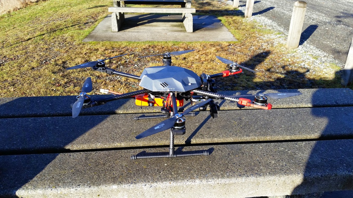
UAV use cases for SAR

By Michael Coyle Posted on 27/01/2015 Posted in Blog Entry Tagged with SAR, tech, technology, UAV
UAV use cases for SAR
a UAV from Kaizen Kinetics Inc.

Some musings on use cases for UAVs in Search and Rescue, the result of a few years thinking about the topic.

How far did I go?

By Michael Coyle Posted on 14/07/2014 Posted in Blog Entry Tagged with calculus, fractals, GPS, tech, technology
How far did I go?

How far did I go? How GPS measurement distorts perception of distance in the backcountry

Uses for UAVs in SAR

By Michael Coyle Posted on 10/07/2014 Posted in Blog Entry Tagged with communications, tech, technology, UAV
Uses for UAVs in SAR

Some proposed uses for UAVs in SAR based on a year of consulting experts, feel free to contribute to this conversation.

Measuring GPS Precision

By Michael Coyle Posted on 13/03/2014 Posted in Blog Entry Tagged with GPS, smart phone, tech, technology
Measuring GPS Precision

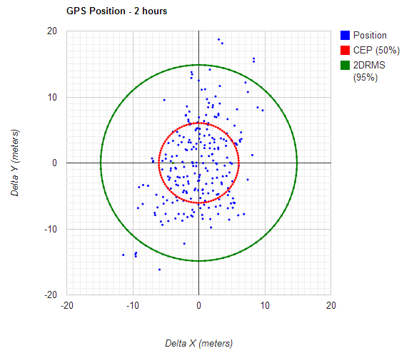
Following up on a series of posts on how to measure the error in a GPS, I’ve written a simple too that will let you calculate the precision of any GPS unit.

Smart Phone and GPS

By Michael Coyle Posted on 15/01/2014 Posted in Blog Entry Tagged with GPS, rescue, smart phone, tech
Smart Phone and GPS

Clarifications and reiterating smart phone GPS capabilities, PLBs, and how to automate the process of determining someone’s location.

The SnowBe Beacon

By Michael Coyle Posted on 23/05/2012 Posted in Blog Entry Tagged with avalanche, beacon, gear, safety, tech, transceiver

There’s an article over on the UnofficialNetworks blog about a new piece of “avalanche safety gear” made by a company called Snow-Beacon. The article, which I encourage you to read for yourself, describes the “SnowBe” as the “THE MOST DANGEROUS …

The SnowBe Beacon Read more »

Satellite Phones and 911

By Michael Coyle Posted on 19/03/2012 Posted in Blog Entry Tagged with communications, emergency, rescue, satellite, tech, technology

Satellite Phones may not have 911 capability; users should know what number to call for rescue

Google moves to Crowdsourcing

By Michael Coyle Posted on 24/10/2011 Posted in Blog Entry Tagged with current events, GIS, Google, map, OpenStreetMap, OSM, tech

Google Map Maker is opened to Canada, and Google becomes a crowdsourced map.

SAR and Crowdsourced Maps

By Michael Coyle Posted on 24/10/2011 Posted in Blog Entry Tagged with management, map, mapping, OpenStreetMap, OSM, rescue, SAR, tech, urban, urban interface
SAR and Crowdsourced Maps

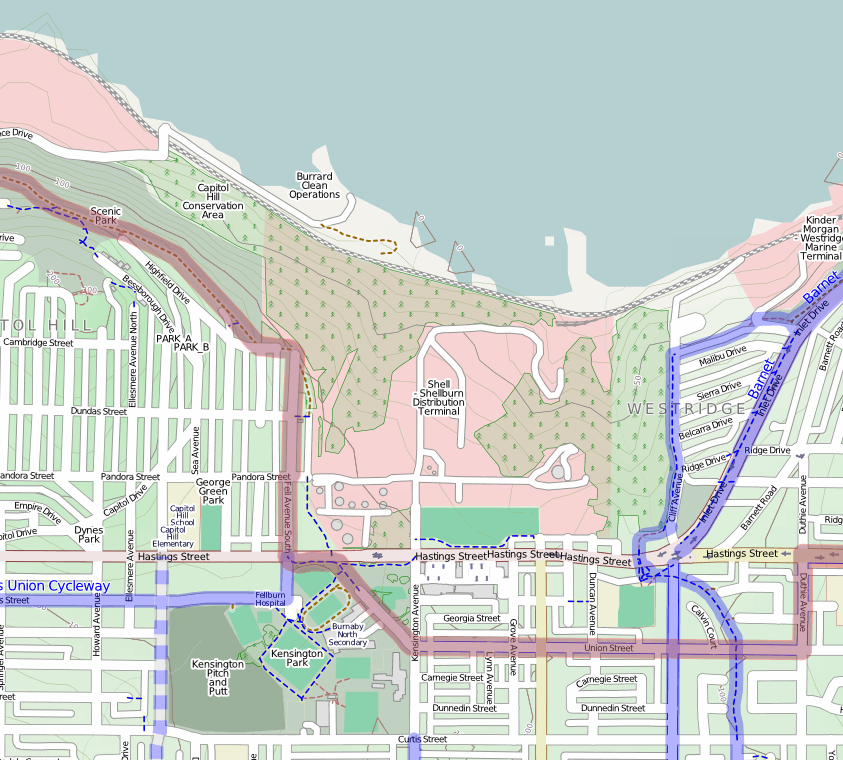
When you’e using OpenStreetMap, you’re using Crowdsourced data; in my experience, very accurate for urban searches.

Footer Menu

  • Copyright
  • Disclaimer
  • Privacy Policy
  • Why Oplopanax
Creative Commons Licence
Oplopanax Horridus Copyright © 2025 by Michael Coyle
All content, except where otherwise noted, is licensed under a Creative Commons Attribution-NonCommercial-ShareAlike 2.5 Canada License